
Uncertainity within Geography and GIS
Uncertainty is innate to representations of the world. Satellite imagery is limited by spatial resolution; datasets capture only selected elements of the world and even then, in a limited nature. This brings forth the question of how uncertainty should be communicated and how much uncertainty is acceptable.
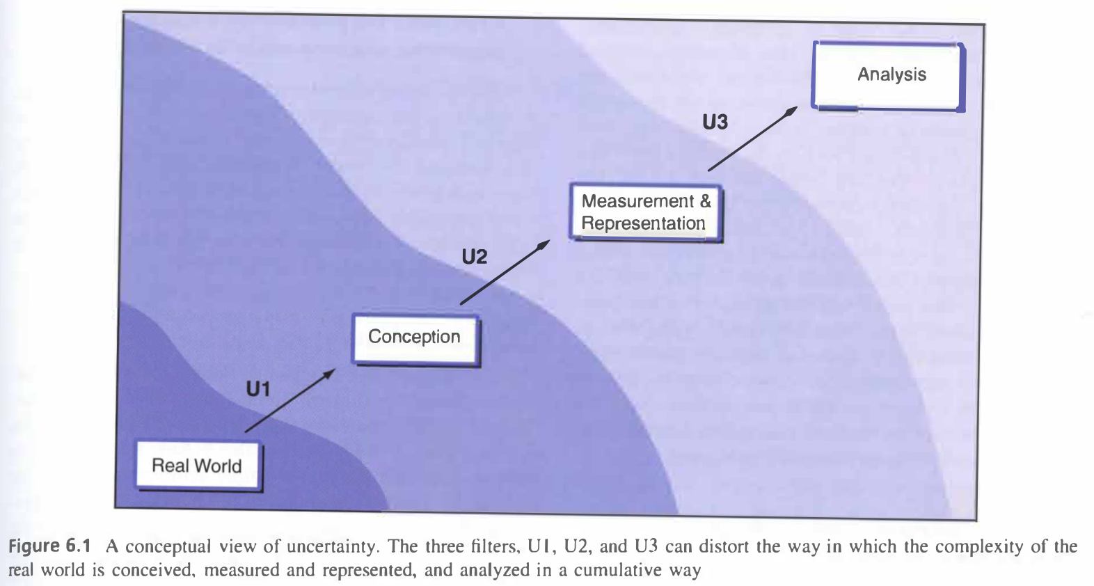
In Geographic Information Systems and Science, the authors present uncertainty through the framework illustrated above.1 The conception and creation of research questions can be limited by seemingly unconnected influences. Words for specific incidences or species exist in some languages and not in others. While this may appear inconsequential to scientific representations of the world, it can constrict the questions explored. Errors compound on themselves. An error that occurs during data collection will influence an entire analysis; an analytical mistake will have cascading effects.
The uncertainty in measuring and studying the world can be quantified through statistical measures. This enables researchers, including geographers, to acknowledge the uncertainties within their studies. In remote sensing or photogrammetry, I create confusion matrices to measure the error and uncertainty in my results. Tools like this inform researchers or those interpreting others research on how much results should be trusted.
Uncertainty cannot be avoided in representations and measurements of the world. However, we can design research and employ methods which decrease the impacts of uncertainty.
Sources
-
Longley, P. A, M. F. Goodchild, D. J. Maguire, and D. W. Rhind. 2008. “Uncertainty.” In Geographical Information Systems and Science, 2nd ed. Chichester: Wiley. ↩